Eighteen Secret Golf Courses
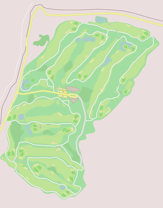
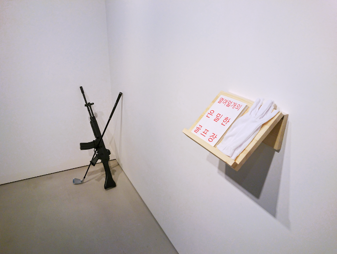
Eighteen Secret Golf Courses is an artist's Book about censorship in South Korean Maps. It contains maps of golf couses that can't be found on South Korean Maps.
Eighteen Secret Golf Courses
Max Neupert
Self published in 2015
38 color pages. 14 x 17.9 cm
50 numbered copies
Compare censored and uncensored satellite/aerial imagery for the Korean peninsula:
VWorld vs. ESRI images.
Compare the illustration below with the location on
Daum Maps
or Naver Maps.
For an uncensored map see
Google Maps.
36.7167, 126.4797

According to the Korean Golf Course Business Association, there are 473 golf
courses in South Korea. Slightly less then half of them are exclusively for
their members. 76 additional courses received permission to be built or are
currently under construction. However, there are some additional golf courses
which are not acknowledged by the association. In fact they are not even on the
maps in Korea. If you look for these golf courses on Korean map providers like
Daum, Naver or VWorld, you will see that the satellite images have been
digitally manipulated so that they show mountains or rice fields instead. The
manipulations are very obvious, often with drastically different fake
topographies when the different providers are compared to each other.
My book Eighteen Secret Golf Courses shows maps of these courses which exist
hidden from the public.
Why can't wee see these golf courses on South Korean Maps? The golf courses in
my book are part of military installations in South Korea. Military areas are
censored on Korean maps. In fact not only army bases are censored, also
nuclear reactors, the presidents house, the national intelligence headquarter,
the national mint and industrial factories, for instance the POSCO steel mill
in Pohang are. A retired professor for geography estimated a staggering 20% of
the South Korean territory to be off limits to the public, even if it is just
for looking at it on a satellite image.
Security concerns are a likely argument for censorship. Korea's security
situation is indeed special, considering the often stressed is the fact that the
two Koreas are officially still in war with each other, albeit an armistice, but
not a peace treaty has been signed. This is why South Korea has a two year
mandatory military service for every male and a substantial part of the Korean
peninsula is reserved for the military. The masses of conscripts need to be
housed and trained, so army bases are ubiquitous and spacious. Even in areas
which are not military at all, there are fortifications in place. On
mountaintops it is common to find helipads, trenches and simple bunkers with
embrasures. In addition to the 640 thousand South Korean army personnel and 2,97
million in reserve, the US forces have a strong presence in Korea with over 27
thousand deployed.
What if military golf is a secret weapon against the dictatorship in the North?
Will the next war be decided by a tournament in golf instead of deadly weapons?
The collateral damage would be minimized. Unfortunately this isn't a particularly
likely scenario. North Korea only has one single golf course. The Pyongyang Golf
complex, a civil golf course which features 18 holes and covers 120 hectares, 45
of which are green. It doesn't look like they are adequately prepared to beat
the South Korean military in golf.
From the information I have gathered, it is up to the map providers to censor
sites they deem sensitive preemptively and then submit their map product to the
government to obtain the license for publication. Considered that a list of
sites to be censored would be very dangerous if it would be leaked,
this procedure makes sense. It also explains why a commercial golf course is
accidently censored on VWorld just because it is located adjunct to an army base.
However, the overall result of the censorship is quite peculiar. The
censorship is very obvious, because the photo-shopped topographies just don't
match up with their surroundings. Even more, if the same site is compared
amongst different censored sources, their landscapes are contradicting each
other. That makes you wonder why the areas in question are not simply blacked
out or blurred, but photo-shopped with generic landscape. Finally with
Google Maps, Nokia Here, Microsoft Bing Maps,
ESRI and DigitalGlobe there are a plentitude of uncensored
satellite images freely and easily available, so it seems rather nonsensical
to censor the areas in the first place. In the light of the ubiquity of
uncensored sources, the censorship of domestic maps is a dispensable Sisyphus
venture.
The reason for censoring isn't the Northern fiend. It rather seems to be the
fear of accountability in face of the own population. While golf is probably
not the biggest dissipation in the military's budget of 35.7 trillion Won, it
is a strong symbol for the privileges of the military elite.

Page updated: 2016-06-20